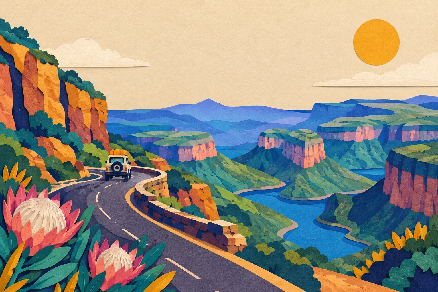
What the Panorama Route actually is
The Panorama Route is the inland loop of Mpumalanga that most travellers drive between Sabie, Graskop, the Blyde River Canyon and the escarpment villages, usually as a two- or three-day add-on to a Kruger National Park trip. The canyon itself is the centrepiece: the Blyde River cuts a deep green gorge through the escarpment, and the viewpoints along its rim — God's Window, Bourke's Luck Potholes, the Three Rondavels and the Pinnacle — sit at the end of short walks or a few minutes' drive from the R532.
It is a self-drive destination. There is no train, no useful bus network and no ride-hailing worth relying on out here, so the day is built around your own car and your own decisions about where to stop. That makes connectivity a practical question rather than a luxury one: you want a map that works when the signal does not, and you want to be reachable if plans change.
Signal on the drive, section by section
Mobile coverage in South Africa follows the towns and the main roads, and the Panorama Route is no exception. As a rule of thumb:
| Section | Typical signal |
|---|---|
| Sabie, Graskop, Hazyview, Pilgrim's Rest | Good in town; usable for calls and maps |
| R532 and R534 between the towns | Intermittent; expect gaps of several kilometres |
| God's Window, Pinnacle, Bourke's Luck Potholes | Usually usable at or near the car parks |
| Three Rondavels and the Blyde River Canyon rim | Often usable, but can drop with terrain and weather |
| Minor gravel roads and farm tracks | Unreliable; assume no signal |
The pattern is the same one you meet elsewhere in the country: coverage is strongest where people live and weakest where the scenery is best. If you want the detail behind that, our guide to South Africa network coverage explains which network reaches where, and why the answer changes as soon as you leave the N-roads.
Why the canyon is a gap, not a dead zone
The Blyde River Canyon rim sits on the edge of the Drakensberg escarpment, and the terrain does most of the work. A viewpoint on a plateau can see a mast 20 kilometres away; the same viewpoint, a few hundred metres further along a ridge, cannot. Signal therefore comes and goes within a single stop, and it can differ between the car park and the viewing platform.
That is not a reason to worry. It is a reason to prepare: download your maps, your accommodation details and any tickets before you set off in the morning, and keep a paper or offline copy of the day's route. If you are driving the route as part of a longer trip, driving in South Africa covers the licence, toll and petrol-station side of the same day.
eSIM or a local SIM for the Panorama Route
If you are arriving from abroad, the choice is between a travel eSIM bought before you fly and a physical SIM bought at the airport. For a short trip built around one region, an eSIM is usually the simpler option: it is active when you land, it leaves your home number in place for calls and messages, and there is nothing to queue for at OR Tambo. Our guide to eSIM for South Africa sets out the plans and the networks they use.
A local SIM still makes sense if you are staying for weeks, need a South African number for bookings, or want a large data bundle at local prices. If you are weighing the two, eSIM or physical SIM walks through the trade-offs. Whichever you choose, check that your phone supports the technology before you buy — the phone compatibility page on our help centre explains what to look for.
Practical checklist for the drive
- Download offline maps for Mpumalanga before you leave your accommodation.
- Save your accommodation address, gate codes and any booking references offline.
- Charge the phone and a power bank the night before; there is no charging point at a viewpoint.
- Keep data switched on but roaming off for apps you do not need, so background updates do not eat your bundle.
- If you are also heading into Kruger, read Kruger National Park Wi-Fi and mobile signal before you go — the coverage pattern inside the park is different again.
- Tell someone your route and expected arrival time, because the gaps between towns are real.
What to do when the signal drops
Nothing breaks. Navigation apps that have already calculated a route usually keep working without a live connection, and a downloaded map will get you between Graskop and the canyon without any signal at all. Calls and messages will queue and send when you reach the next town.
The one thing worth planning around is anything time-sensitive: a restaurant booking, a gate time at a private reserve, or a transfer pickup. Confirm those before you leave the previous stop, and keep the confirmation number written down rather than only in an app.
If you are combining the canyon with Kruger
Many travellers drive the Panorama Route on the way to or from Kruger National Park, and the two days have different connectivity profiles. The towns on the route have reliable signal; the park is a mix of good coverage at the main camps and nothing at all on the quieter loops. If that is your plan, our South Africa travel tips page covers the wider practicalities, and the help centre has setup and troubleshooting guides if your eSIM does not connect on arrival.