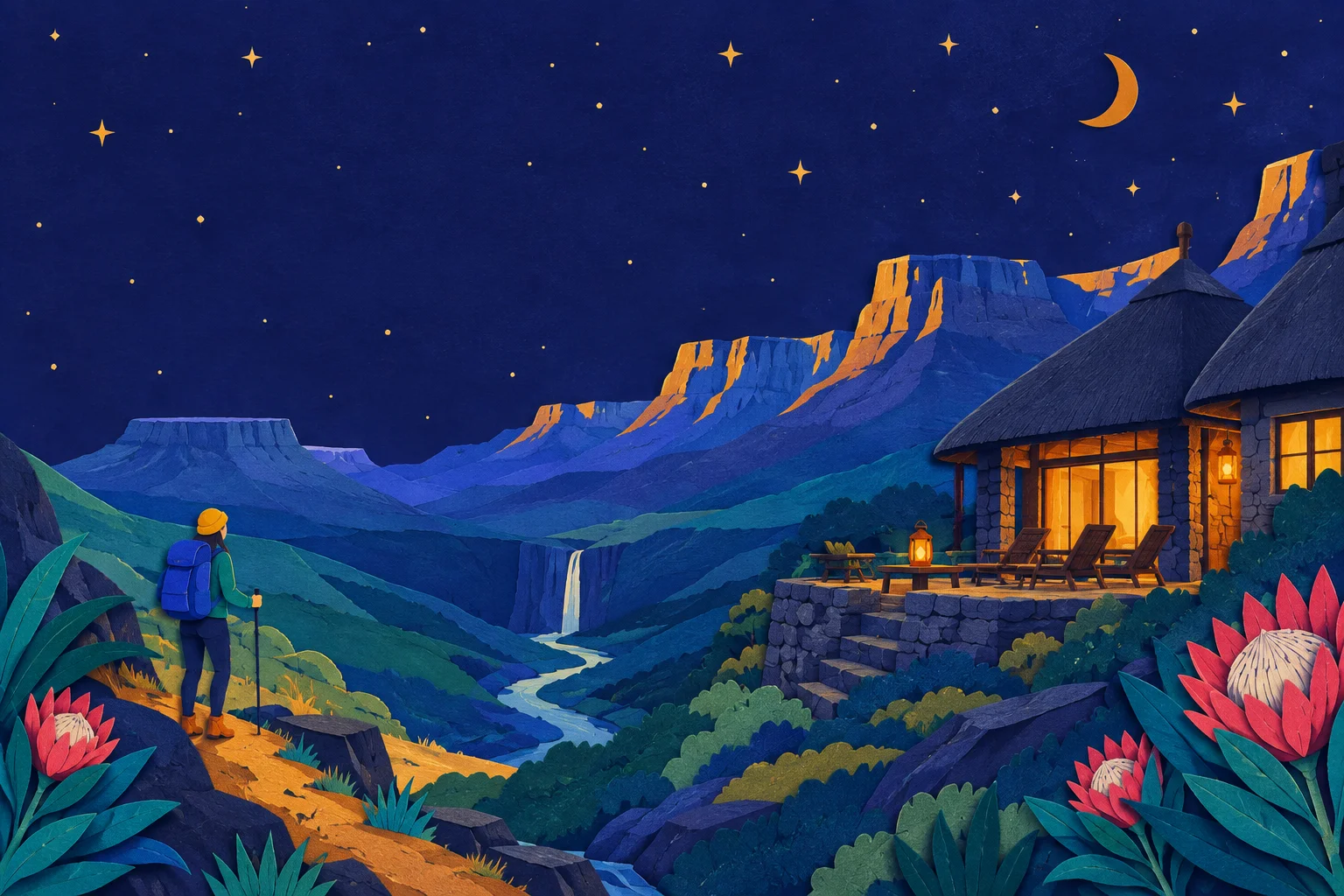
What the Drakensberg is
The Drakensberg, or uKhahlamba, is the eastern escarpment of South Africa's interior plateau. It runs roughly from the Free State's Golden Gate in the north down through KwaZulu-Natal to the Eastern Cape, but the part travellers mean by "the Drakensberg" is the uKhahlamba-Drakensberg Park: a UNESCO World Heritage Site of about 240,000 hectares, with peaks above 3,000 metres, the highest being Thabana Ntlenyana in neighbouring Lesotho.
It is a hiking destination first and a scenery destination second. The escarpment is close enough to Johannesburg and Durban for a long weekend, and far enough to feel genuinely remote once you leave the tar.
The main areas, north to south
Most trips pick one or two of these and stay put. Driving between the northern and southern Berg takes most of a day.
| Area | Base towns | What it is known for |
|---|---|---|
| Northern Berg | Bergville, Winterton | Amphitheatre, Tugela Falls, Royal Natal National Park |
| Central Berg | Cathedral Peak, Champagne Valley | Cathedral Peak, Monk's Cowl, day walks from lodges |
| Southern Berg | Underberg, Himeville | Sani Pass, Giant's Cup Trail, Sani Pass 4x4 route to Lesotho |
| Golden Gate | Clarens | Free State side, sandstone, easier driving from Gauteng |
Hikes: what to expect
The Drakensberg rewards walkers at every level, but the trailhead is not the same as a city park. Signage is limited, weather turns fast, and the altitude is real.
- Short day walks: an hour to three hours, usually from a lodge or a park office. Cathedral Peak's Rainbow Gorge and the Cascades are good examples.
- Half- and full-day hikes: four to eight hours. The Amphitheatre's Tugela Falls chain ladders and the Sentinel car park route are the best-known; both start high and finish high.
- Multi-day trails: the Giant's Cup Trail is a five-day, four-night hut-to-hut route between Sani Pass and Bushman's Nek. The Northern Traverse and the Grand Traverse are serious, guided undertakings.
Permits are required for most trails inside the park, and for some trailheads you register at a park office or with a mountain rescue register. Book guided hikes through a lodge or a registered guide if you are not experienced in the Berg.
Lodges and where to sleep
Accommodation runs from national park rest camps to full-service lodges, with self-catering cottages in between. The pattern is consistent: the further from a tar road, the quieter and the more you pay for the privilege.
- Park-run camps: basic, well placed, book early for weekends and school holidays.
- Mid-range lodges: guided walks, meals, sometimes horse riding. Common in the Champagne Valley and around Underberg.
- High-end lodges: private concessions, spa, guided hikes, sometimes helicopter access.
- Self-catering cottages: the most flexible option for families and groups; stock up in Winterton, Bergville, Underberg or Himeville.
For a wider view of where the Berg sits in a South African itinerary, see South Africa travel tips.
Mobile signal in the Drakensberg
This is the part most guides skip. The honest answer: signal exists, but it is not uniform, and it does not follow the trail.
- Gateway towns such as Winterton, Bergville, Underberg and Himeville have good coverage on the main networks.
- Staffed lodges and park offices usually have some signal, often only outdoors, sometimes only one network.
- Valleys, gorges and the escarpment itself are where signal disappears. The Amphitheatre and the higher reaches of the Central Berg are effectively offline.
- Sani Pass has signal in places on the South African side and little or none at the top.
If you are relying on a phone for navigation, safety or a lift back to the lodge, treat the Berg as offline-first. Our guide to South Africa network coverage explains which networks reach which parts of the country; the short version is that no network covers the high Berg.
Staying connected without chasing signal
A travel eSIM is the simplest way to arrive with data already working. You install it before you fly, it activates when you land, and you keep your home SIM in the phone for calls and messages. Our eSIM for South Africa guide covers plans and networks in detail.
Two practical habits make the biggest difference in the Berg:
- Download offline maps for the area you are hiking, plus your lodge's contact number and the route notes.
- Carry a power bank. Cold nights and long days drain a phone faster than you expect, and there is no charging point on a trail.
If you are not sure how much data you need for a trip that mixes city days and mountain days, our guide to how much data you need walks through it.
Getting there and getting around
- From Johannesburg: about four to five hours to the northern or central Berg via the N3, longer to Underberg.
- From Durban: about three hours to the central Berg, four to Underberg.
- Driving: a car is close to essential. Some lodges offer transfers from the nearest town or airport.
- Roads: tar to the main gateways, gravel and steep passes beyond. Sani Pass to Lesotho requires a 4x4 and a passport check at the top.
For the wider picture on driving rules, tolls and fuel, see Driving in South Africa.
When to go
The Berg has a wet summer and a dry, cold winter. April to May and August to September are the sweet spots for hiking: stable weather, fewer people, and cooler days than midsummer. December and January are busy and stormy; June and July bring snow on the high ground and clear, cold days.
If your trip also includes the coast, When to visit South Africa compares the safari season with Cape summer.
A short pre-trip checklist
- Book park permits and any hut-based trail well ahead.
- Confirm whether your lodge has Wi-Fi, and whether it is in the rooms or only the main building.
- Install your eSIM and test it before you leave home.
- Download offline maps, your booking confirmations and your lodge's number.
- Pack layers, a waterproof shell, a hat, sunscreen and a power bank.
- Tell someone your route and expected return time.
If you are still deciding between a travel eSIM and a local SIM bought on arrival, eSIM or physical SIM sets out the trade-offs.