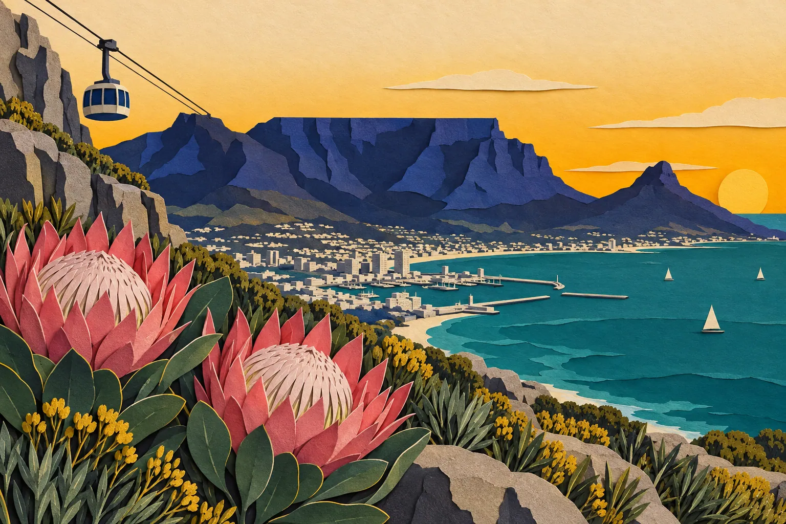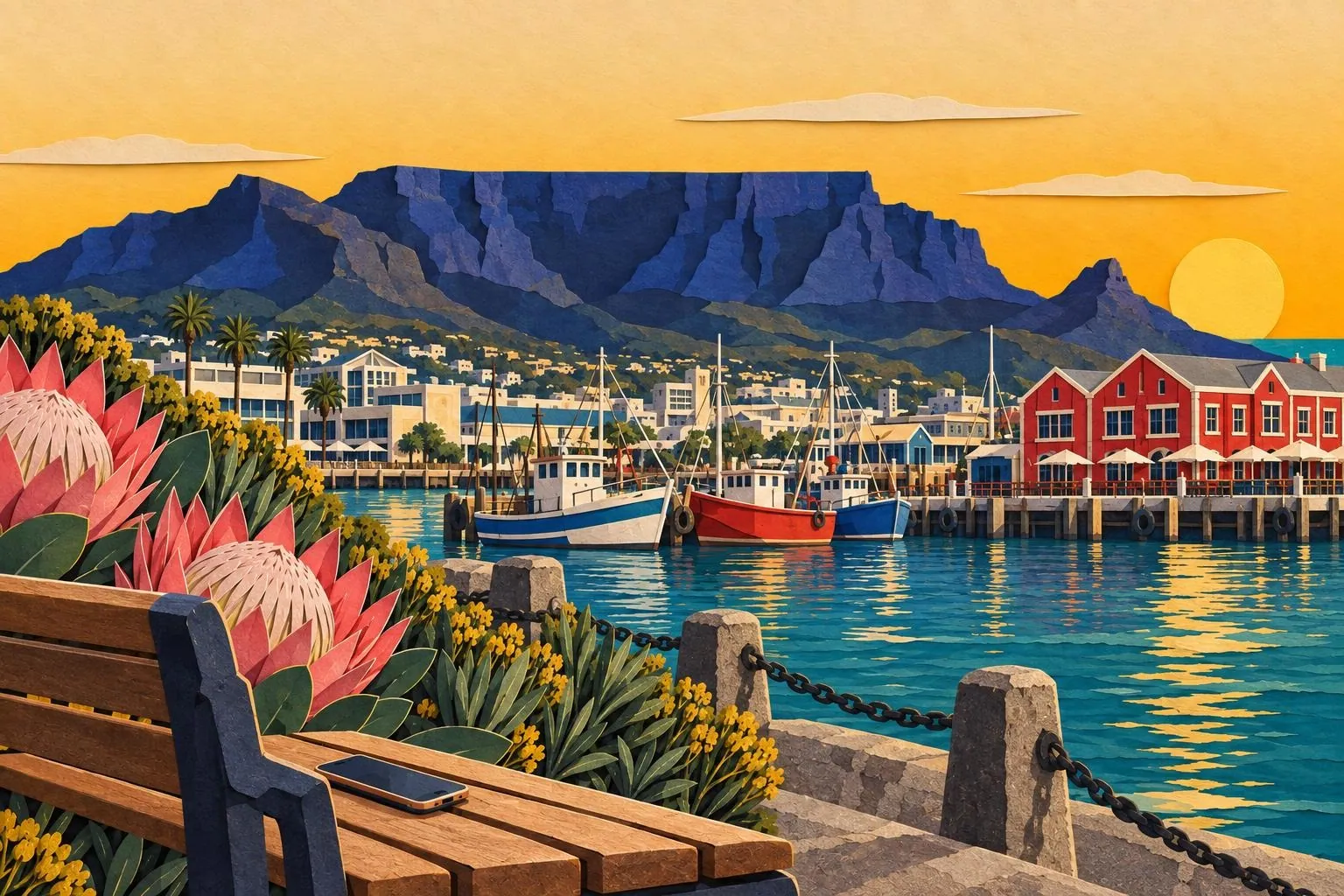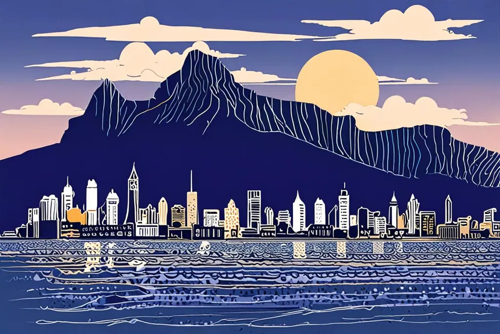
Cape Town is the oldest city in South Africa, founded in 1652 as a resupply station and now the seat of the country’s Parliament, with the country’s second-largest population and the largest in the Western Cape. The city is built around the mountain in the most literal way: the City Bowl sits beneath it, the Atlantic seaboard runs down its western side, the southern suburbs spread across its lower slopes and the harbour and waterfront occupy the reclaimed land at its feet.
Its setting is the reason people come, and its weather is the reason their plans change. Cape Town has a Mediterranean climate, which in the southern hemisphere means hot, dry and windy from November to March, and rain from May to August. The wind arrives with its own character: the south easter that blows in summer is known here as the Cape Doctor, and it is strong enough to stop the cableway, cancel a beach day and take a hat off your head from fifty metres away.
- Năm thành phố được thành lập
- 1652
- Diện tích đô thị
- 2,461 km²
- Đỉnh núi Table Mountain
- 1,086 m
- Lượng mưa trung bình năm
- 492.8 mm
The mountain and the peninsula
Table Mountain National Park sits inside the city boundaries, and the flat summit is only the middle of it: the park runs the length of the peninsula to Cape Point, with the botanical garden at Kirstenbosch on its eastern flank, which holds five of South Africa’s six biomes. The cableway up the mountain is the easy route and the queue is the price; the walks are the other route and the heat is theirs.
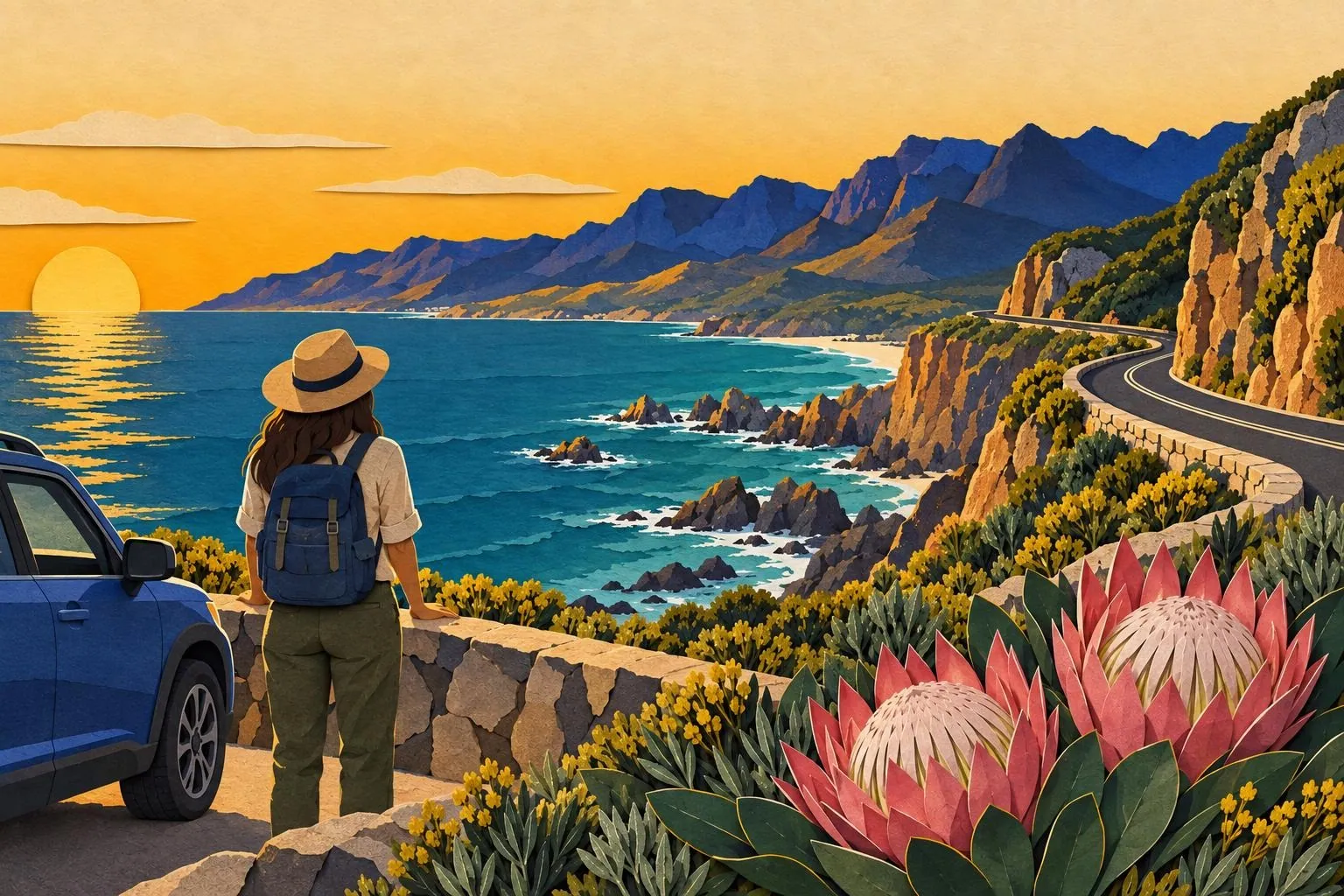
Then there is the drive south: along the Atlantic side through Camps Bay and Hout Bay, or over the pass to the False Bay side, past the penguin colony at Boulders, down to Cape Point and the Cape of Good Hope, which is the corner everyone photographs. It is a full day with a car and a long one without, and the weather at the point is frequently the opposite of the weather in the city.
Beaches, neighbourhoods and the city itself
The Atlantic seaboard, at Clifton and Camps Bay, is the postcard: white sand, granite boulders and water cold enough to be a decision rather than a bath. False Bay, on the other side of the peninsula, is warmer and calmer, and faces a different direction, so the wind that ruins one side often leaves the other perfectly still.
In town, the V&A Waterfront is the busiest and most convenient base, the City Bowl holds the Company’s Garden and the museums, and Bo-Kaap, on the slopes above it, is the historic Cape Malay quarter with its painted houses. Woodstock and Observatory have the food and the coffee; the townships of Langa, Gugulethu and Khayelitsha are visited on guided tours, several of which are run by residents and return money to the community.
Water, wind and how the city works
Cape Town became famous for the wrong reason in 2017 and 2018, when a multi-year drought brought the city to the brink of turning off the taps, an event known as Day Zero. It did not happen, the city cut its consumption by a third in a few years, and the dams now refill in the winter, but the experience shaped how the place thinks about water: cisterns, low-flow fittings and a mild public conscience about both.
The wind has the same status, in reverse: it is admired, complained about and planned around. Summer visitors learn to check the forecast each morning, to put the beach day on the calm side of the peninsula, and to treat the cableway as something you do when the mountain has no tablecloth on it, because on a windy day the answer is no.
Getting around
The airport is about twenty kilometres east of the centre, with a taxi or ride-hailing transfer into the City Bowl taking twenty to forty minutes depending on the traffic. Inside the city, the MyCiTi bus network covers the Waterfront, the CBD, Sea Point and the airport route with prepaid cards; the minibus taxis are cheaper, faster and not something a first-time visitor needs to work out; and ride-hailing is cheap by European standards and available almost everywhere.
The trains are the interesting case: the southern line past Muizenberg is quick and scenic, and the network has a reputation for reliability and safety that means most visitors use it only in daylight on the tourist routes. For the peninsula and the winelands, a rented car is the flexible answer, with the caveat about parking and break-ins.
Bạn sẽ trải qua ngày ở đâu?
Núi có quang đãng không, không có mây phủ trên đỉnh?
Bạn có muốn đi bộ một phần không?
Cáp treo, đi sớm
Lên đỉnh bằng những chuyến cáp đầu ngày, trước khi có hàng dài và mây kéo đến, đi bộ quanh các đường mòn trên đỉnh, xuống núi trước khi gió mạnh lên. Mang theo áo khoác nhẹ vì trên đỉnh lạnh hơn vài độ và có thể nằm trong mây dù dưới thành phố đang nắng, và nhớ kiểm tra cáp treo có hoạt động trước khi rời khách sạn.
Lên bộ, xuống bằng cáp treo
Platteklip Gorge là tuyến đi thẳng: dốc, trống nắng, mất khoảng hai tiếng cho người có sức khoẻ trung bình, không có bóng mát và nhiều bậc đá. Nên khởi hành sớm, mang nước và đồ che nắng, và quyết định cách xuống khi đã lên tới đỉnh. Mùa hè đông người đi nên hầu như không cảm giác đi một mình.
Kế hoạch cho ngày gió hoặc mưa
Khi núi phủ mây và cáp treo đóng cửa, bán đảo vẫn có nhiều lựa chọn: vườn thực vật Kirstenbosch nằm ở phía khuất gió của núi, các bảo tàng và khu Waterfront, những điền trang rượu vang ở Constantia và Stellenbosch, hoặc chạy xe xuống Cape Point, nơi thời tiết thường khác hoàn toàn so với thành phố.
Kiểm tra trước khi đặt lịch trình
0/8
Cape Town rewards a loose plan and punishes a rigid one. Book the mountain for the morning the forecast is clear, put the beach on the side the wind is leaving alone, and keep a day spare for the peninsula, the winelands or the drive to Hermanus. The city will do the rest.