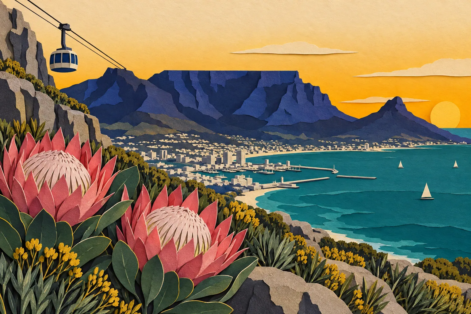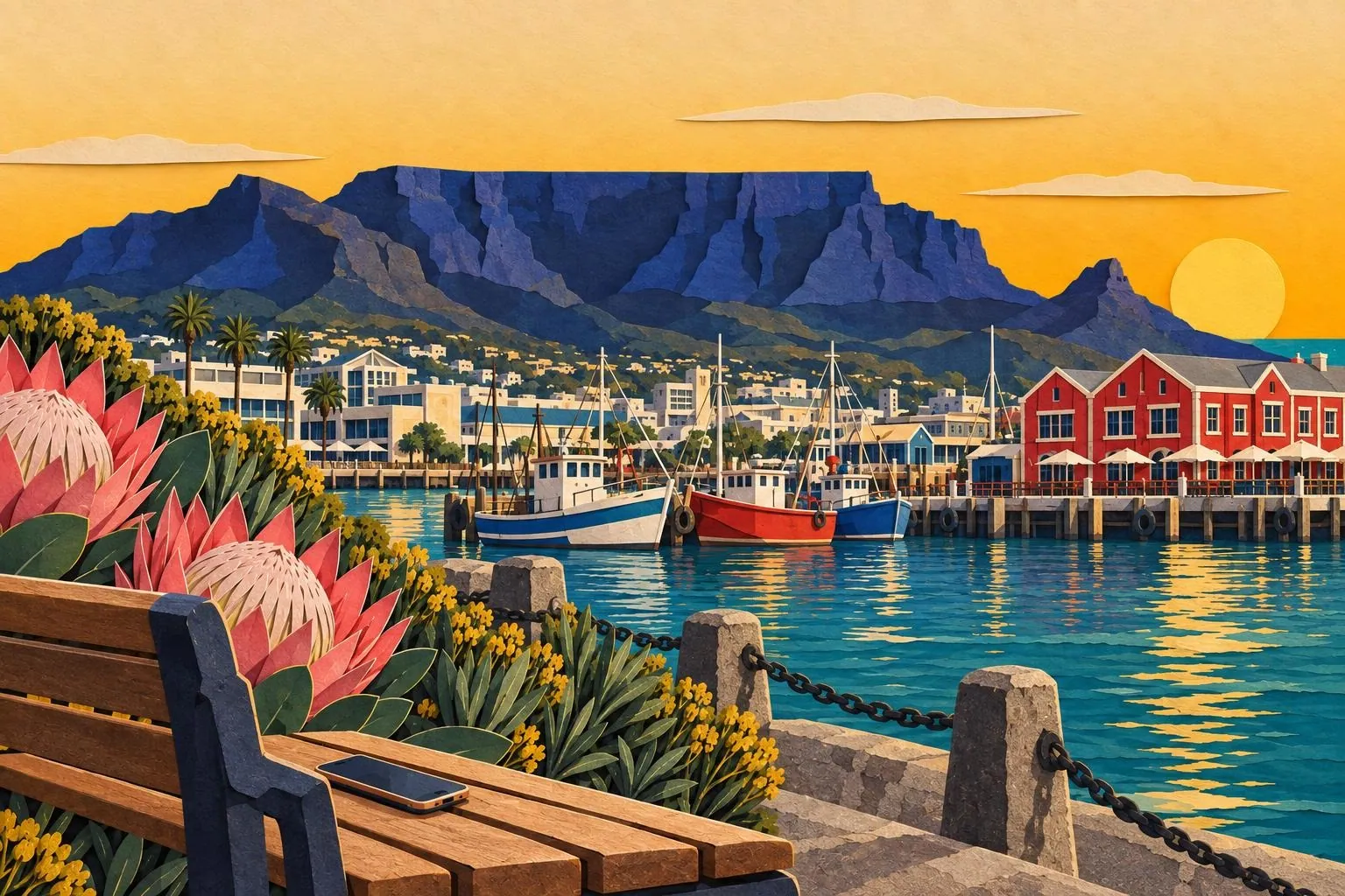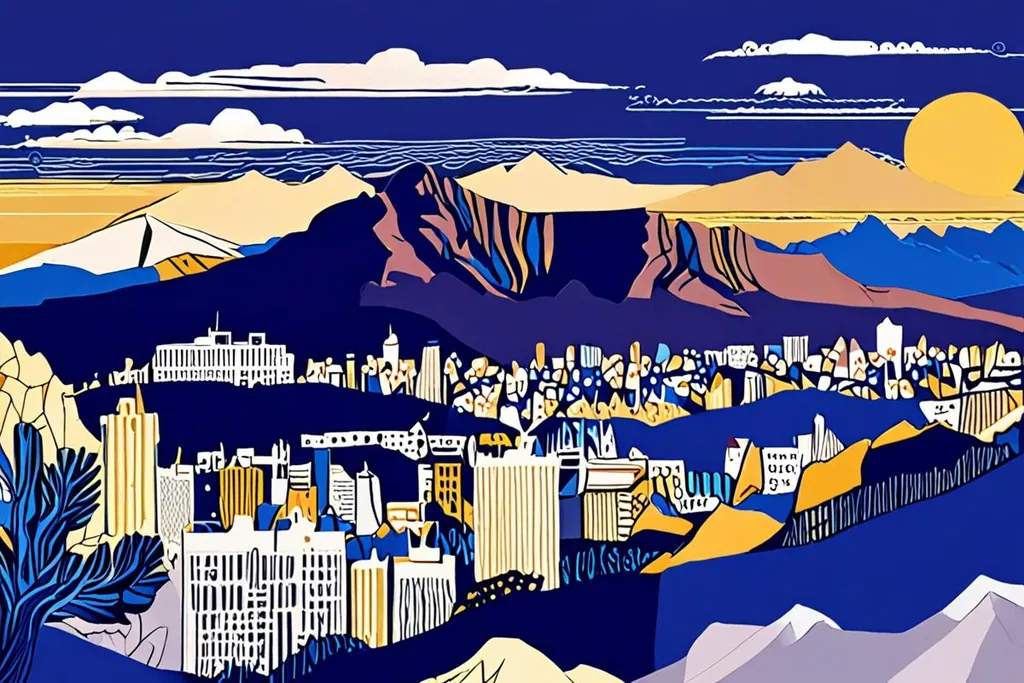
Table Mountain is the reason Cape Town looks the way it does, which is a strange thing to say about a rock, but the city is arranged around it: the City Bowl at its northern foot, the Atlantic seaboard down its western flank, the southern suburbs spread across its lower slopes and the harbour on the reclaimed land beyond. The summit is 1,084.6 metres above sea level and about 1,000 metres above the streets, and it is flat: a plateau you can walk across in twenty minutes with a view down onto a working city.
The mountain is also a botanical event. Its slopes carry 2,285 plant species, around 80 per cent of them fynbos, the fine-leaved shrubland of the Cape, and the national park that centres on it runs the whole length of the peninsula to Cape Point. It is the most visited national park in South Africa, with something like 4.2 million visits a year, almost all of them in the cableway area or on the paths around it.
- Độ cao đỉnh núi
- 1,084.6 m
- Loài thực vật trên núi
- 2,285
- Là fynbos
- 80%
- Lượt vào vườn quốc gia mỗi năm
- 4.2 triệu
The cableway, and the weather that runs it
The cable car takes about five minutes and has been running since 1929, with rotating cars since 1997 so that everyone gets the view on the way up. The queue, not the ride, is what consumes an afternoon in January, and the answer is a timed ticket bought in advance.
Whether it runs at all is not a decision anyone in the city controls. The south easter that Cape Town calls the Cape Doctor blows hard enough to stop the cars, which is why the cableway publishes its status every morning. The other variable is the tablecloth: cloud that forms when moist air is pushed up the slopes and condenses just above the plateau, rolling over the edge and dissolving on the far side. It is the most photographed weather in Africa and the least welcome sight if you have booked a summit afternoon.
Bốn trăm năm khách ghé thăm
Trước 1652
Huriǂoaxa, nơi nổi lên từ biển
Người Khoekhoe gọi núi là Huriǂoaxa, nơi nổi lên từ biển, bán đảo là nơi sinh sống của các bộ tộc nói tiếng Khoe, di chuyển giữa biển và núi tùy mùa. Đỉnh bằng phẳng là điểm mốc, nguồn nước và ranh giới.
Sau 1652
Núi trở thành phông nền của thành phố
Khi người Hà Lan lập trạm tại Vịnh Table, núi trở thành điểm tham chiếu trung tâm: các trang trại ở sườn dưới, hồ chứa nước trong khe núi và khu dân cư mọc dần lên theo sự phát triển của thành phố. Đến nay vẫn là ranh giới của City Bowl.
1929
Cáp treo khai trương
Chuyến cáp treo đầu tiên đưa khách lên đỉnh, đi đúng tuyến cáp hiện nay. Xe cáp được thay vào năm 1997 thành cabin quay nhẹ để ai cũng được ngắm toàn cảnh, nhờ đó mỗi chuyến khoảng năm phút như đi hội chợ.
1998
Vườn quốc gia trong lòng thành phố
Vườn quốc gia Núi Bàn được thành lập, kéo dài từ Signal Hill dọc sống núi đến Cape Point, hiện là vườn quốc gia đông khách nhất Nam Phi với hơn bốn triệu lượt mỗi năm. Đặc biệt ở chỗ đây là khu bảo tồn mà thành phố phát triển quanh nó.
Going up on foot
The walking routes are shorter than people expect and harder than they look. Platteklip Gorge leaves from the lower cableway area and climbs about 600 metres in two hours of steep stone steps with no shade; Skeleton Gorge comes up from Kirstenbosch through forest and stream, longer and greener; India Venster involves scrambling and exposure and is not a first route. Kasteelspoort, on the western side above Camps Bay, is the quiet alternative and the one that gives you the Twelve Apostles.
Two rules cover most of it. Carry two litres of water each and start early, because the heat on the rock by midday is serious. And check that the cableway is running before you commit to walking up, because the descent is the part that hurts, and a mountain with no cable car and a tired walker is a long afternoon.
Safety, flora and what you will see
The standard paths are busy and marked, and the mountain is not a technical climb on any of them. The risks are ordinary: heat, slips on loose stone, and robberies on the quieter routes early and late in the day, which is why the park advises walking in a group and keeping to the popular paths if you are alone. Take a phone, tell someone where you are going, and do not treat the mountain as a city park just because there is a city underneath it.
The wildlife is small and specific. The rock hyrax, the chunky rodent-sized animal you will see sunbathing on the rocks, is a dassie, and its nearest living relatives are elephants and sea cows, which is the detail everyone repeats on the way down. There are lizards, snakes that mostly stay out of the way, raptors riding the updraughts, and the Table Mountain ghost frog, which lives in a handful of streams and nowhere else on earth.
The rest of the park
Table Mountain is the centre of a park that runs south along the peninsula: Lion’s Head and Signal Hill behind the city, the Twelve Apostles along the Atlantic side, Constantia Nek above the wine estates, and then the long ridge down to Cape Point. Lion’s Head is the popular sunrise and full moon walk, a spiral path that takes an hour and gives you the city and the mountain in one frame.
Signal Hill, below it, is where the paragliders launch in the afternoon and where the city gathers to watch the sunset, which is a free and entirely local way to end a day. The beaches of the Atlantic seaboard sit directly beneath the park, and the climbs on the mountain itself, from the sandstone crags above Camps Bay to the sport routes on the lower buttresses, are used all year by people who live twenty minutes away.
What the mountain means to the city
The mountain is the city’s water supply, its weather, its map reference and its identity. The reservoirs built into its gullies fed Cape Town for more than a century, the cloud that forms on it decides whether the cableway runs, and the pipes and contour paths across its slopes were laid by people who treated it as infrastructure rather than scenery. The Table Mountain Aerial Cableway has carried more than thirty million passengers since 1929, and the paths are used daily by people walking up for exercise rather than for the view.
That is the practical point for a visitor: the mountain is not a monument you visit once. It is the thing the city is arranged around, and the reason to go up is as much to see Cape Town laid out below you as to stand on the famous flat top.
Cáp treo hay đi bộ?
Bạn có muốn đi bộ ít nhất một đoạn?
Bạn có quen đi bộ hai tiếng lên bậc đá dốc?
Đi cáp treo cả hai chiều
Mua vé có giờ qua mạng, đi các chuyến đầu hoặc sát hoàng hôn, đi bộ quanh các đường mòn đỉnh bằng phẳng để ngắm toàn cảnh bốn phía. Mang theo áo gió: trên cao lạnh hơn, gió mạnh hơn, mây có thể đến trong vài phút.
Lên hẻm Platteklip, xuống bắng cáp treo
Tuyến đi bộ trực tiếp: hai tiếng leo bậc đá không bóng râm, đúng nghĩa là thử thách. Xuất phát sớm, mang đủ hai lít nước mỗi người và chỉ nên đi nếu cáp treo đang hoạt động phòng trường hợp không đủ sức. Đây là lựa chọn phổ biến nhất, đi bộ đúng nghĩa chứ không phải dạo chơi.
Lên núi bằng cáp, xuống núi đi bộ
Phương án nhẹ nhàng, hợp ngày nắng nóng: lên bằng cáp lúc sáng sớm, đi dạo đỉnh núi rồi xuống bằng đường bộ khi trời mát. Ghi chú thời gian chuyến cáp cuối, báo tuyến bạn đi cho người thân, và không nên bắt đầu xuống núi trễ.
Trước khi lên núi
0/8
The mountain is the one thing in Cape Town you cannot plan around, so plan with it instead: check the wind and the cloud each morning, hold a day spare, and take whichever option the weather offers. A clear summit is worth rearranging a day for, and it is the reason people come back.