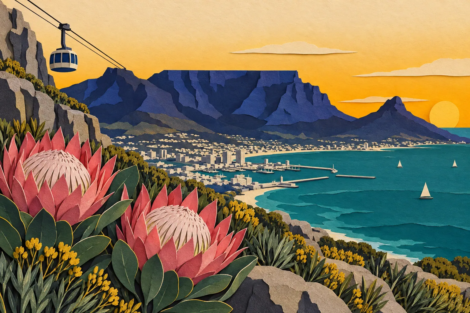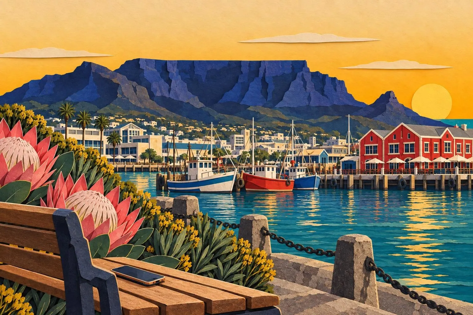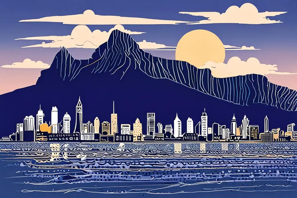
Cape Town is the oldest city in South Africa, founded in 1652 as a resupply station and now the seat of the country’s Parliament, with the country’s second-largest population and the largest in the Western Cape. The city is built around the mountain in the most literal way: the City Bowl sits beneath it, the Atlantic seaboard runs down its western side, the southern suburbs spread across its lower slopes and the harbour and waterfront occupy the reclaimed land at its feet.
Its setting is the reason people come, and its weather is the reason their plans change. Cape Town has a Mediterranean climate, which in the southern hemisphere means hot, dry and windy from November to March, and rain from May to August. The wind arrives with its own character: the south easter that blows in summer is known here as the Cape Doctor, and it is strong enough to stop the cableway, cancel a beach day and take a hat off your head from fifty metres away.
- The city was founded
- 1652
- The metropolitan area
- 2,461 km²
- Table Mountain at its summit
- 1,086 m
- Rain in an average year
- 492.8 mm
The mountain and the peninsula
Table Mountain National Park sits inside the city boundaries, and the flat summit is only the middle of it: the park runs the length of the peninsula to Cape Point, with the botanical garden at Kirstenbosch on its eastern flank, which holds five of South Africa’s six biomes. The cableway up the mountain is the easy route and the queue is the price; the walks are the other route and the heat is theirs.
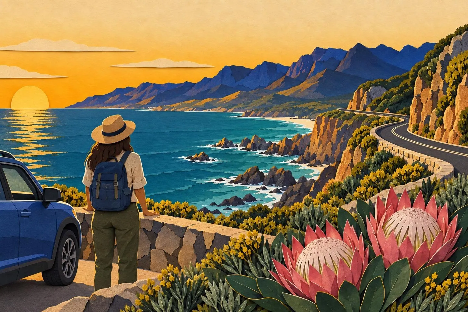
Then there is the drive south: along the Atlantic side through Camps Bay and Hout Bay, or over the pass to the False Bay side, past the penguin colony at Boulders, down to Cape Point and the Cape of Good Hope, which is the corner everyone photographs. It is a full day with a car and a long one without, and the weather at the point is frequently the opposite of the weather in the city.
Beaches, neighbourhoods and the city itself
The Atlantic seaboard, at Clifton and Camps Bay, is the postcard: white sand, granite boulders and water cold enough to be a decision rather than a bath. False Bay, on the other side of the peninsula, is warmer and calmer, and faces a different direction, so the wind that ruins one side often leaves the other perfectly still.
In town, the V&A Waterfront is the busiest and most convenient base, the City Bowl holds the Company’s Garden and the museums, and Bo-Kaap, on the slopes above it, is the historic Cape Malay quarter with its painted houses. Woodstock and Observatory have the food and the coffee; the townships of Langa, Gugulethu and Khayelitsha are visited on guided tours, several of which are run by residents and return money to the community.
Water, wind and how the city works
Cape Town became famous for the wrong reason in 2017 and 2018, when a multi-year drought brought the city to the brink of turning off the taps, an event known as Day Zero. It did not happen, the city cut its consumption by a third in a few years, and the dams now refill in the winter, but the experience shaped how the place thinks about water: cisterns, low-flow fittings and a mild public conscience about both.
The wind has the same status, in reverse: it is admired, complained about and planned around. Summer visitors learn to check the forecast each morning, to put the beach day on the calm side of the peninsula, and to treat the cableway as something you do when the mountain has no tablecloth on it, because on a windy day the answer is no.
Getting around
The airport is about twenty kilometres east of the centre, with a taxi or ride-hailing transfer into the City Bowl taking twenty to forty minutes depending on the traffic. Inside the city, the MyCiTi bus network covers the Waterfront, the CBD, Sea Point and the airport route with prepaid cards; the minibus taxis are cheaper, faster and not something a first-time visitor needs to work out; and ride-hailing is cheap by European standards and available almost everywhere.
The trains are the interesting case: the southern line past Muizenberg is quick and scenic, and the network has a reputation for reliability and safety that means most visitors use it only in daylight on the tourist routes. For the peninsula and the winelands, a rented car is the flexible answer, with the caveat about parking and break-ins.
How will you spend the day?
Is the mountain clear, with no cloud on the table?
Do you want to walk part of it?
The cable car, early
Go up on the first cars of the day, before the queue and the cloud, walk the contour paths on the summit, and come down before the wind picks up. Take a layer, because the top is several degrees cooler and can be inside a cloud while the city is in sunshine, and check that the cableway is running before you leave the hotel.
Up on foot, down on the cable
Platteklip Gorge is the direct route: steep, exposed and about two hours for a reasonably fit walker, with no shade and a lot of stone steps. Start early, take water and sun cover, and decide about the descent at the top rather than at the bottom. The paths are busy enough in summer that you are never really alone.
The windy or wet day plan
When the mountain is in cloud and the cableway is closed, the peninsula still works: the Kirstenbosch botanical garden in the lee of the mountain, the museums and the Waterfront, the wine estates of Constantia and Stellenbosch, or the drive out to Cape Point, where the weather is often completely different from the city.
Before you book the day
0/8
Cape Town rewards a loose plan and punishes a rigid one. Book the mountain for the morning the forecast is clear, put the beach on the side the wind is leaving alone, and keep a day spare for the peninsula, the winelands or the drive to Hermanus. The city will do the rest.