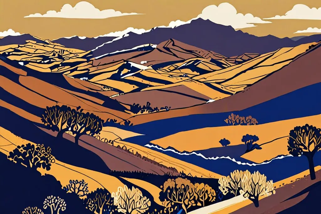
The Atlas Mountains separate the Sahara from the sea. They run about 2,500 kilometres through Morocco, Algeria and Tunisia, and in Morocco they stand in three bands: the Middle Atlas in the north, the High Atlas across the middle, and the Anti-Atlas to the south. It is the High Atlas that people mean when they say they are going to the mountains from Marrakesh.
That journey is short. The foothills begin less than an hour from the city, and the road up the Mizane valley to Imlil is one of the great drives in the country. What changes over those sixty minutes is not just the temperature but the whole economy: from tourism to walnuts, terraces, mules and villages built of stone.
- Toubkal, đỉnh cao nhất
- 4,167 m
- Chiều dài toàn dãy
- 2,500 km
- Vườn quốc gia Toubkal
- 380 km2
- Năm thành lập vườn
- 1942
What the mountains actually are
The High Atlas rises near the Atlantic and runs east towards the Algerian border, with several summits above 4,000 metres. Toubkal, at 4,167, is the highest point in Morocco, in North Africa and in the Arab world; further east, Ighil m’Goun reaches 4,071 as the second major summit. The range is inhabited throughout, not preserved empty: Berber families farm the terraced valleys, grow cereals and fruit, and move stock up to summer pastures.
Much of the high ground around Toubkal is protected. The national park was created in 1942, covers 380 square kilometres, and holds the massif itself plus a string of peaks over 3,600 metres. It is also a bird habitat of international importance, with Barbary partridges and several warblers found in few other places.
Day trips from Marrakesh
Three directions, all within reach of a morning.
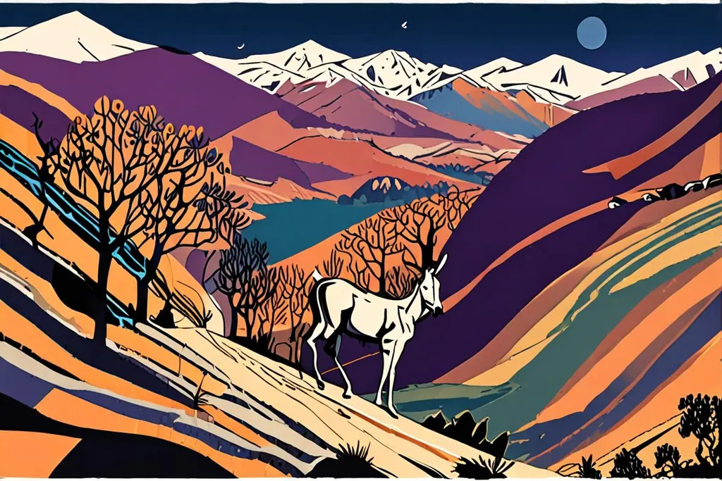
The Ourika valley is the closest and the busiest, a green corridor of orchards and cafes with Setti Fatma at the road’s end and a set of waterfalls above the village. Asni and Imlil, south of Marrakesh along the Mizane, are the proper mountains: Imlil is the roadhead for the Toubkal trails and the place to find guides and mules. West, the road to Amizmiz and Ouirgane passes Lalla Takerkoust, an artificial lake below the hills that is popular for a long lunch and a swim.
For something starker, the road south over the Tizi n’Tichka pass to Ouarzazate crosses the range in one long climb and descent, and the landscape turns from green valleys to bare rock and then to desert. It is a driving day rather than a walking one, and it is worth it for the sense of what these mountains do to the whole country.
Walking, and climbing Toubkal
Walking in the Atlas needs no equipment beyond boots and water. Paths run out of Imlil and the Ourika villages to waterfalls, shrines and summer pastures, mule tracks carry farm goods rather than hikers, and a few hours of it gives you villages where the tea is poured properly and nobody mentions a menu.
Toubkal is the serious version. The usual route starts from Imlil, walks through the village of Aroumd across the floodplain, follows the valley south to Sidi Chamharouch, a small settlement around a shrine, and climbs to two stone refuges at 3,207 metres. The summit day is two and a half to three hours of ascent from there by the south route, then the descent and the long walk back to Imlil. Two days in total, no ropes, no technical ground, but loose scree, cold mornings and real altitude.
Altitude is what catches people. Above 3,500 metres the body notices, and a fit person who lives at sea level can be slower and sicker than an unfit one who does not. If you have the time, walk high and sleep low for a day first. In winter and early spring the route is a snow climb, with crampons needed and ice axes used in places, and the mountains have avalanches on some slopes. Guides charge by the day, porters and mules by the load.
When to go, and what the weather does
Spring and autumn are the seasons for walking. April and May bring flowers, green terraces and unsettled weather, with storms possible on the summits. September and October are clear and stable, with the walnut harvest and long, level light. Summer is hot at valley level but pleasant higher up, and it is also the driest period, so water matters more than warmth.
Winter is for the snow line. The refuges stay open, the passes can close for a day or two after a storm, and the villages are cold and quiet. If you are going above 3,000 metres, understand that freezing conditions are possible in any month of the year. Pack for a mountain, not for Marrakesh.
Getting there and where to sleep
Imlil is about 70 kilometres from Marrakesh by road, which is roughly a two hour drive. Shared taxis and minibuses run from the bus station to Asni, and from Asni onwards to Imlil, which is the cheap and slow way; a private car or a booked transfer is the easy one.
In the villages you sleep in a gite or a small guesthouse, which is usually a room in a family house with dinner and breakfast, and often the most memorable part of the trip. Imlil itself has a choice of guesthouses and the park’s ecomuseum, which explains the region and the work being done to protect it. There are no cash machines up the valleys, so bring what you need.
Staying online in the mountains
Signal follows the villages. In Imlil, Asni and the main valleys there is coverage enough for a map, a message and a call, and it is usually good enough to share a photograph before dinner. In the narrow side valleys, behind ridges, and on much of the Toubkal route, it disappears entirely, which is part of the attraction for some people and a problem for anyone relying on a phone for navigation.
The answer is the same as anywhere in Morocco: your own operator’s roaming, a local SIM bought in the city, or a travel eSIM installed before you fly. Whichever you choose, download the map first, take a power bank, and keep the phone warm overnight in winter.
Bạn sẽ kết nối internet thế nào?
Bạn có cần gọi và nhắn tin bằng số cá nhân khi ở Maroc không?
Gói chuyển vùng của bạn có rẻ hơn khoảng năm đô la mỗi ngày không?
eSIM du lịch cho dữ liệu
Cài đặt trước khi bay và chuyển dữ liệu sang eSIM khi hạ cánh. Dùng bản đồ ngoại tuyến của các thung lũng và nhắn tin cho nhà nghỉ từ sân bay, số cá nhân của bạn giữ nguyên.
Giữ số cá nhân, bật chuyển vùng
Ổn nếu gói chuyển vùng rẻ và đi ngắn ngày. Tắt chuyển vùng dữ liệu với các ứng dụng không cần thiết vì máy sẽ liên tục tìm sóng ở sườn núi, làm pin nhanh cạn.
Trước khi vào núi
0/8
The Atlas are not a backdrop to Marrakesh, they are the reason the city works: for water, for food, for the cool air that Europeans came south for. Go up for a day and you will understand the country differently. Go up for two and walk to the top of it, and you will have climbed the highest ground in North Africa without ever needing a rope.