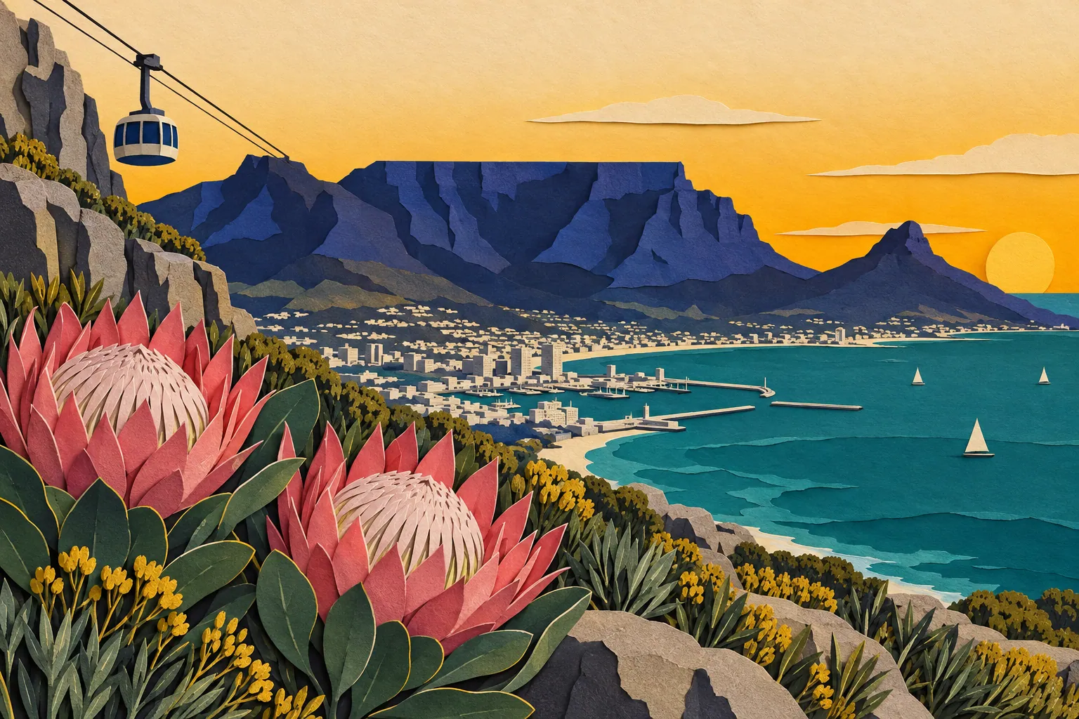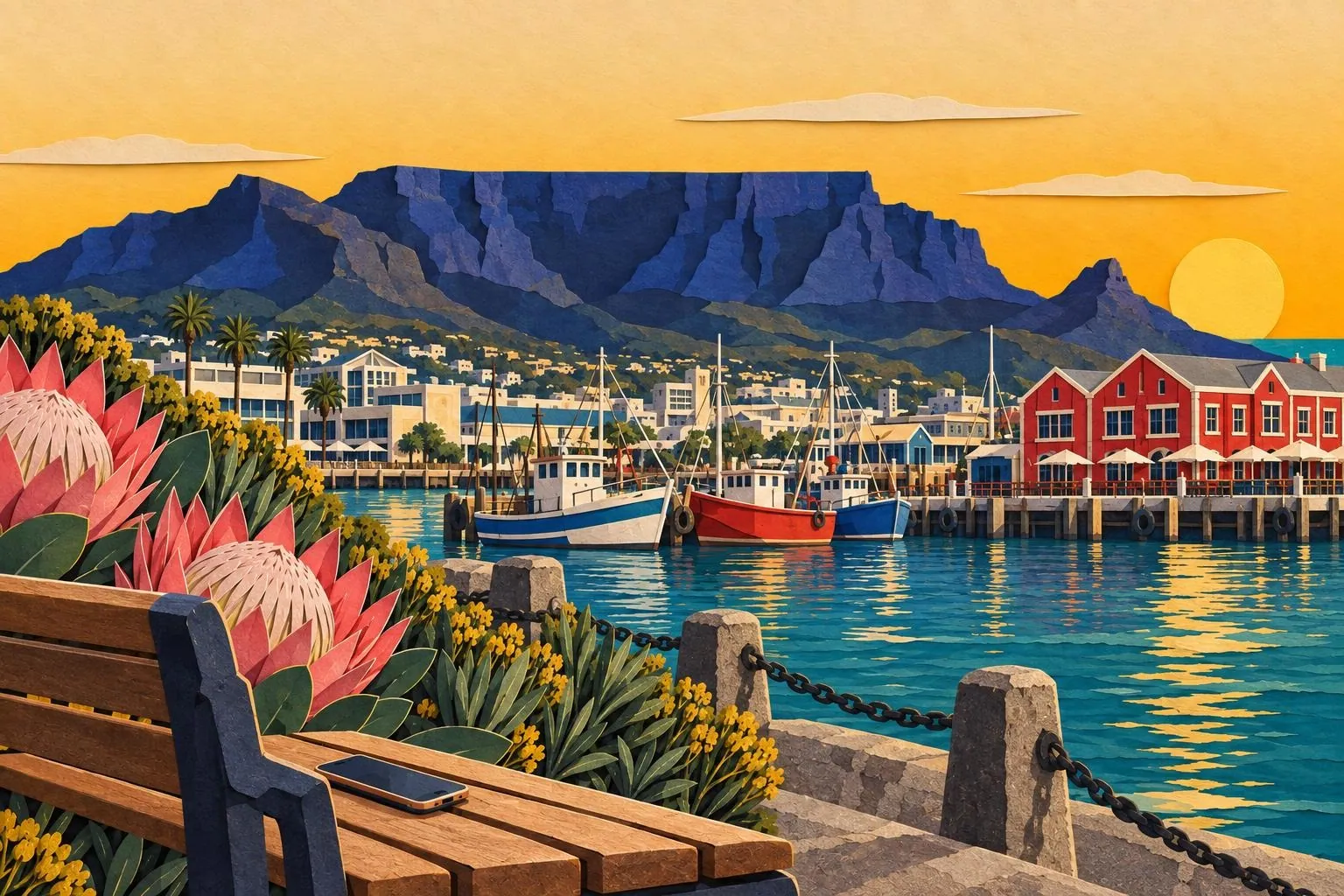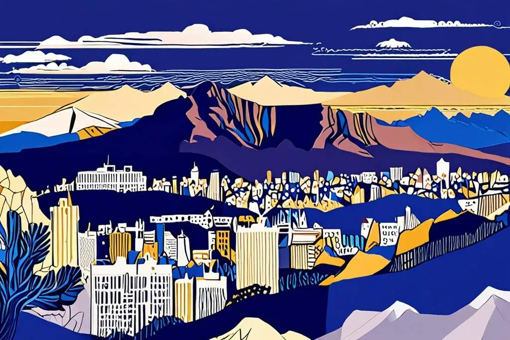
Table Mountain is the reason Cape Town looks the way it does, which is a strange thing to say about a rock, but the city is arranged around it: the City Bowl at its northern foot, the Atlantic seaboard down its western flank, the southern suburbs spread across its lower slopes and the harbour on the reclaimed land beyond. The summit is 1,084.6 metres above sea level and about 1,000 metres above the streets, and it is flat: a plateau you can walk across in twenty minutes with a view down onto a working city.
The mountain is also a botanical event. Its slopes carry 2,285 plant species, around 80 per cent of them fynbos, the fine-leaved shrubland of the Cape, and the national park that centres on it runs the whole length of the peninsula to Cape Point. It is the most visited national park in South Africa, with something like 4.2 million visits a year, almost all of them in the cableway area or on the paths around it.
- Summit elevation
- 1,084.6 m
- Plant species on the mountain
- 2,285
- Of them are fynbos
- 80%
- Visits to the national park a year
- 4.2 million
The cableway, and the weather that runs it
The cable car takes about five minutes and has been running since 1929, with rotating cars since 1997 so that everyone gets the view on the way up. The queue, not the ride, is what consumes an afternoon in January, and the answer is a timed ticket bought in advance.
Whether it runs at all is not a decision anyone in the city controls. The south easter that Cape Town calls the Cape Doctor blows hard enough to stop the cars, which is why the cableway publishes its status every morning. The other variable is the tablecloth: cloud that forms when moist air is pushed up the slopes and condenses just above the plateau, rolling over the edge and dissolving on the far side. It is the most photographed weather in Africa and the least welcome sight if you have booked a summit afternoon.
Four hundred years of visitors
Before 1652
Huriǂoaxa, the sea-emerging
The mountain was known to the Khoekhoe as Huriǂoaxa, the place that emerges from the sea, and the peninsula was home to Khoe-speaking clans who moved with the seasons between the coast and the slopes. The flat summit was a landmark, a water source and a boundary.
1652 onwards
The mountain becomes the city’s backdrop
When the Dutch established their station on Table Bay, the mountain became the reference point for everything that followed: the farms on its lower slopes, the reservoirs built into its gullies, and the suburbs that climbed it as the city grew. It is still the boundary of the City Bowl.
1929
The cableway opens
The first cable car carried visitors to the summit, and the route it follows is essentially the one in use today. The cars were replaced in 1997 with rotating ones so that every passenger gets the full view on the way up, which is why the ride takes five minutes and feels like a fairground.
1998
A national park inside a city
Table Mountain National Park was established, running from Signal Hill down the spine of the peninsula to Cape Point, and it is now the most visited national park in South Africa, with more than four million visits a year. It is unusual in being a protected area that a city has grown around rather than away from.
Going up on foot
The walking routes are shorter than people expect and harder than they look. Platteklip Gorge leaves from the lower cableway area and climbs about 600 metres in two hours of steep stone steps with no shade; Skeleton Gorge comes up from Kirstenbosch through forest and stream, longer and greener; India Venster involves scrambling and exposure and is not a first route. Kasteelspoort, on the western side above Camps Bay, is the quiet alternative and the one that gives you the Twelve Apostles.
Two rules cover most of it. Carry two litres of water each and start early, because the heat on the rock by midday is serious. And check that the cableway is running before you commit to walking up, because the descent is the part that hurts, and a mountain with no cable car and a tired walker is a long afternoon.
Safety, flora and what you will see
The standard paths are busy and marked, and the mountain is not a technical climb on any of them. The risks are ordinary: heat, slips on loose stone, and robberies on the quieter routes early and late in the day, which is why the park advises walking in a group and keeping to the popular paths if you are alone. Take a phone, tell someone where you are going, and do not treat the mountain as a city park just because there is a city underneath it.
The wildlife is small and specific. The rock hyrax, the chunky rodent-sized animal you will see sunbathing on the rocks, is a dassie, and its nearest living relatives are elephants and sea cows, which is the detail everyone repeats on the way down. There are lizards, snakes that mostly stay out of the way, raptors riding the updraughts, and the Table Mountain ghost frog, which lives in a handful of streams and nowhere else on earth.
The rest of the park
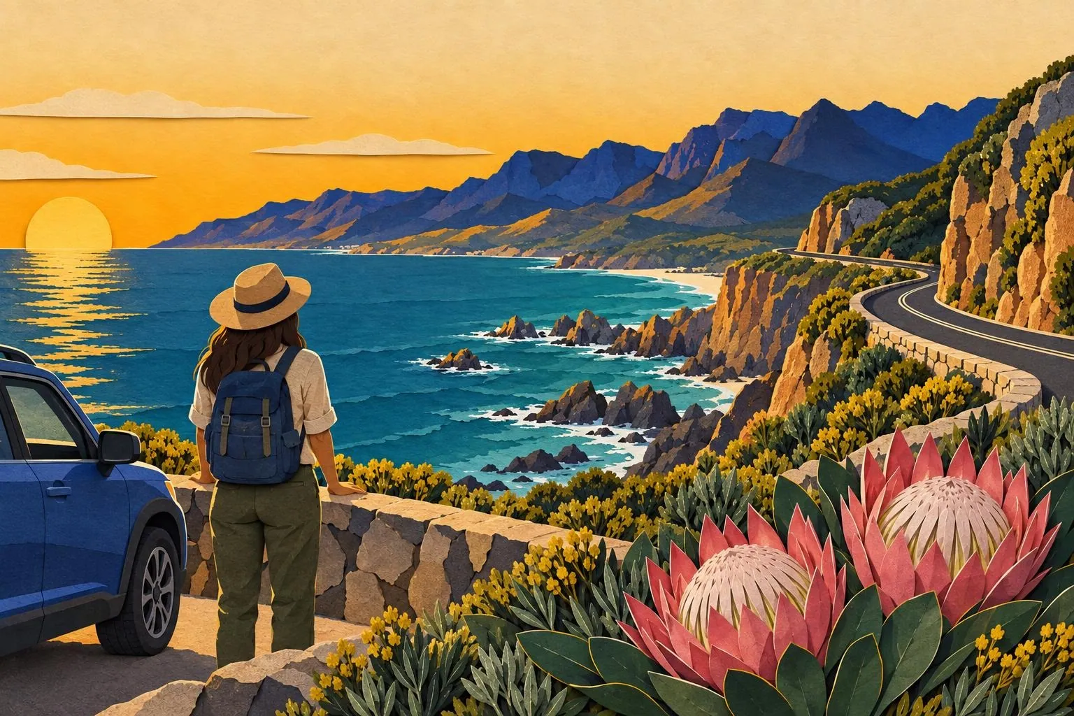
Table Mountain is the centre of a park that runs south along the peninsula: Lion’s Head and Signal Hill behind the city, the Twelve Apostles along the Atlantic side, Constantia Nek above the wine estates, and then the long ridge down to Cape Point. Lion’s Head is the popular sunrise and full moon walk, a spiral path that takes an hour and gives you the city and the mountain in one frame.
Signal Hill, below it, is where the paragliders launch in the afternoon and where the city gathers to watch the sunset, which is a free and entirely local way to end a day. The beaches of the Atlantic seaboard sit directly beneath the park, and the climbs on the mountain itself, from the sandstone crags above Camps Bay to the sport routes on the lower buttresses, are used all year by people who live twenty minutes away.
What the mountain means to the city
The mountain is the city’s water supply, its weather, its map reference and its identity. The reservoirs built into its gullies fed Cape Town for more than a century, the cloud that forms on it decides whether the cableway runs, and the pipes and contour paths across its slopes were laid by people who treated it as infrastructure rather than scenery. The Table Mountain Aerial Cableway has carried more than thirty million passengers since 1929, and the paths are used daily by people walking up for exercise rather than for the view.
That is the practical point for a visitor: the mountain is not a monument you visit once. It is the thing the city is arranged around, and the reason to go up is as much to see Cape Town laid out below you as to stand on the famous flat top.
Cableway or on foot?
Do you want to walk at least part of the way?
Are you comfortable with steep stone steps for two hours?
The cableway both ways
Buy a timed ticket online, go up on the first cars or in the last hour before sunset, and walk the contour paths across the summit, which are flat and give you the views in every direction. Take a layer: the top is cooler than the city, the wind is stronger, and cloud can arrive in minutes.
Up Platteklip Gorge, down on the cable
The direct route on foot: two hours of stone steps up a gully with no shade, which is the honest description. Start early, take two litres of water each, and only commit if the cableway is running in case your legs decide otherwise. This is the version most people do, and it is a proper walk rather than a stroll.
Up on the cable, down on foot
The gentler version and the better one for a hot day: ride up in the cool of the morning, walk the summit, then descend on foot when the heat has gone out of the sun. Check the last cableway time anyway, tell somebody which route you are taking, and do not start a descent late in the afternoon.
Before you go up
0/8
The mountain is the one thing in Cape Town you cannot plan around, so plan with it instead: check the wind and the cloud each morning, hold a day spare, and take whichever option the weather offers. A clear summit is worth rearranging a day for, and it is the reason people come back.