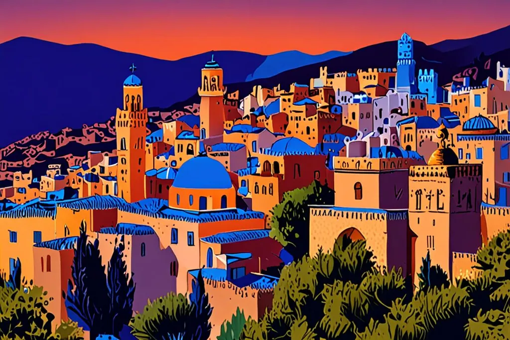
Chefchaouen is a market town in the western Rif that became, without planning it, one of the most photographed places in Morocco. The name explains the setting: it comes from the Arabic for to look and the Berber word for horns, meaning look at the two peaks above the valley.
What makes it unusual is that this is not a resort. It is a working provincial capital of about 46,000 people, with a market, a hospital and a bus station, and the blue paint is on the same walls that people walk past on their way to work. That is why the evening is better than the afternoon.
- Residents, 2024 census
- 46,168
- City founded
- 1471
- Elevation
- 564 m
- Gates in the old walls
- 10
Why the city is blue
There are three answers, and everyone in town will give you at least one of them.
The first is insects: blue is said to keep mosquitoes away, which would matter in a valley with water running through it. The second is religious: blue stands for the sky and for heaven, and painting the walls that colour is a reminder to live accordingly. The third is practical and much newer, and it is the one some locals offer: the town was told to paint itself blue in the 1970s, when tourism was being encouraged.
What is not in doubt is the base layer, which is Andalusian whitewash, brought by refugees from Spain, and the fact that the blue is repainted by hand every year or so, which is why it never looks tired.
A fortress that became a city
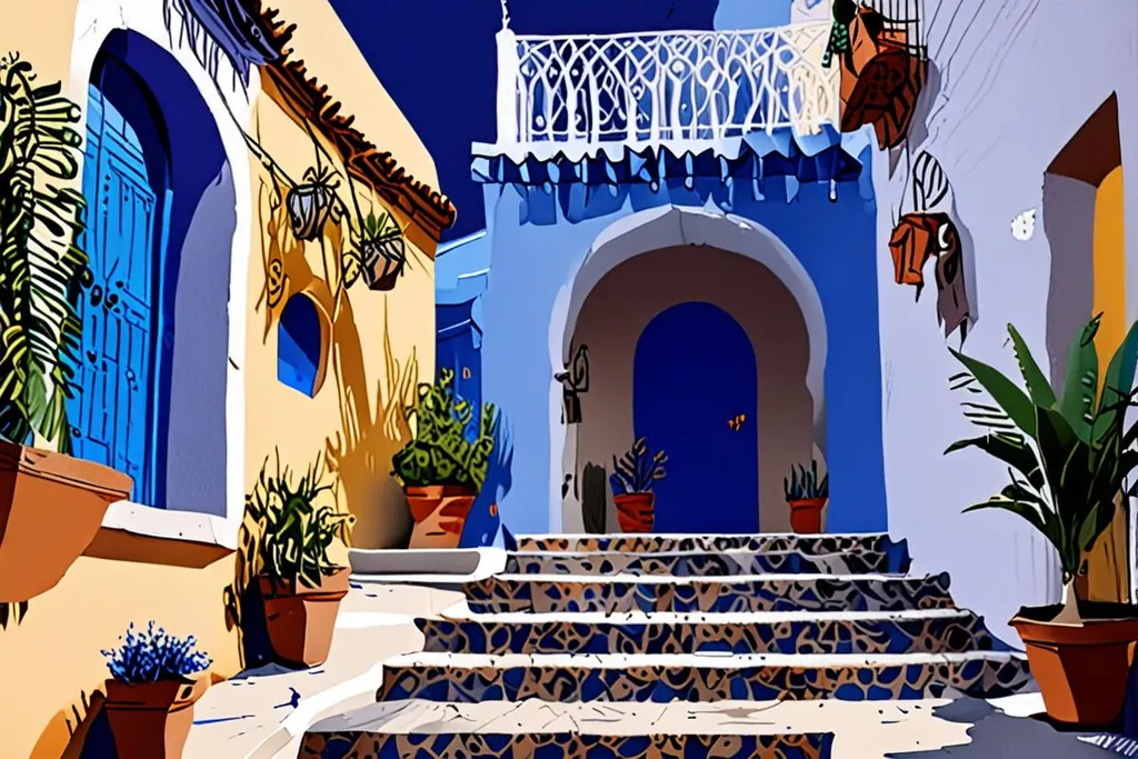
Ali ibn Rashid built the kasbah in 1471 to defend the north against the Portuguese, and his descendants and the refugees from Granada did the rest. After 1492, and again after the expulsions of 1609, Muslim and Jewish families from Spain settled here and built in the only style they knew, which is why the lanes, courtyards and doorways look Andalusian rather than Moroccan.
The town they made was walled, with about ten gates, and it grew no bigger than its walls until the twentieth century. Its most famous ruler was probably Sayyida al-Hurra, who governed the city and, from Tetouan, ran a corsair fleet in the sixteenth century. A Jewish community of Iberian descent lived here for centuries and at one point made up about a third of the population; the mellah and the cemetery are still there, and the last family left in 1968.
Six dates that made Chefchaouen
1471
A fortress in the mountains
Ali ibn Rashid built a small kasbah above the valley to hold the Portuguese back from the north of Morocco. The walls are rammed earth and most of them are still there.
1492
Granada falls
Muslim and Jewish refugees from Spain crossed to Morocco, and many settled here, bringing the courtyards, tiled roofs and whitewash of Andalusian towns with them.
1609
The Moriscos are expelled
Philip the Third of Spain expelled the remaining Moriscos, and another wave arrived. In a few decades the fortress had become a city with walls, about ten gates and a Great Mosque.
1920
Spain occupies the town
General Damaso Berenguer took Chefchaouen for the Spanish protectorate in October 1920. The Spanish Mosque on the eastern hill dates from this period.
1924
The Republic of the Rif
After the Spanish retreat the town was part of the short lived republic led by Abd el-Krim, which ended in 1926 with the Rif war and the return of Spanish control.
1956
Morocco takes it back
Independence returned the northern zone to Morocco. The Jewish community, once about a third of the population, shrank over the following years, and the last family left in 1968.
The medina in half a day
Start at Uta Hammam square, which is the centre of the old town: the kasbah on one side, the Great Mosque with its octagonal minaret on another, and a caravanserai that once housed merchants, one of four in the city. It was laid out in the sixteenth century and takes its name from a hammam in the corner.
The kasbah itself is worth the small entry fee. Its walls are rammed earth, strengthened by ten towers, and the interior has been turned into a museum of archaeology and local life with a garden in the courtyard. From there, walk down into Souika, the oldest quarter, which has been a market since the fifteenth century, and find the wall fountains: Ain Souika, set behind an arch, and the four-sided fountain in the main square.
East of the medina, outside the old walls, is Ras al-Ma’, the spring that supplied the city, with its stone enclosure, an old mill and a bridge over the stream. Beyond it a path climbs to the Spanish Mosque, built in the 1920s and no longer used for prayer, which is where everybody goes at the end of the day to watch the sun drop behind the town. It is twenty minutes uphill and worth the sweat.
Akchour and the Talassemtane park
The mountains behind the town are protected. Talassemtane national park was created in 2004 and covers about 589 square kilometres between 350 and 1,050 metres, and it holds the last viable stands of Moroccan fir, a tree that grows in only a few places on earth. More than 1,380 plant species have been recorded in the park, 47 of them found nowhere else, along with bearded vultures and a hundred other birds.
The valley to visit is Akchour, a gorge with pools and a natural arch called the Bridge of God, reached by a road and then a walk of a couple of hours. Local guides wait at the car park, and it is worth taking one, not for safety so much as for knowing which of the paths leads to the water and which to a goat track. Kef Toghobeit, one of the deepest caves in Africa, is in the same massif.
Getting there
Chefchaouen has no airport. The roads in come from Tetouan and the north coast, from Ouazzane on the way to Fes, and from the hills around Larache; the town sits between Tetouan and Ouazzane, which is why the buses all pass through it. Most visitors arrive by coach or shared taxi, from Tangier or Tetouan in the north or Fes in the south, and the final stretch climbs into the Rif and takes longer than the map suggests.
The bus station is a short walk from the medina, which surprises people who expect a taxi ride. If you are driving, park outside the walls: the lanes inside are for walking, and the nearest vehicle access to most guesthouses is a gate and a set of steps away.
When to go
Chefchaouen has a Mediterranean climate at 564 metres, which in practice means mild, green and wetter than most of Morocco.
Rainfall records from the town station between 2000 and 2020 ranged from about 500 millimetres in the driest year to nearly 1,900 in the wettest, which tells you what the Rif weather does: it is generous and unpredictable. Spring is green and full of wildflowers, autumn is clear and warm, and summer brings the heaviest visitor numbers along with pleasant evenings on the roofs. Winter is cold and often wet, and snow falls on the peaks above the town.
How will you get online?
Do you need calls and texts on your own number while you are in Morocco?
Is your operator’s roaming pass cheaper than about five dollars a day?
A travel eSIM for data
Install it before you fly and move data to the eSIM line on landing. The bus times, the guesthouse messages and the offline map of the lanes all work on arrival, and your own number stays where it is.
Your own line, roaming on
Fine if the pass is cheap and the trip is short. Switch data roaming off for everything you do not need, because uploading photographs from a mountain village uses more data than the view deserves.
What to buy, and one caution
Wood is the local craft, and it is the town’s leading artisan product by a wide margin: turned and painted furniture, boxes, and boards made from cedar, walnut and thuya. Leather, woven textiles and ironwork fill the rest of the shops, most of them belonging to cooperatives rather than to middlemen, and prices are gentler than in Marrakech.
One thing to be careful about: the Rif is Morocco’s cannabis-growing region, and it is offered casually on some paths and terraces. British consular advice for Morocco lists drug offences among the serious ones, with long prison sentences, and the same advice applies to anything you are asked to carry for somebody else. Whatever the offer, it is your risk and not theirs.
Before you arrive
0/8
Chefchaouen is a two night town dressed up as a day trip. Come in the morning, walk the lanes while they are busy and the light is hard, then stay: the town empties at five, the muezzin goes up over the blue rooftops, and the place turns back into itself. That hour is the one worth travelling for.