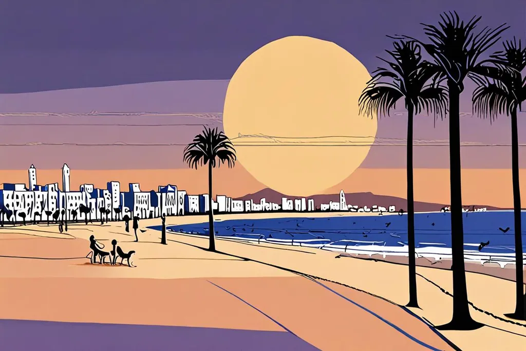
Agadir was a small harbour town for centuries, most of them unremarkable ones, and then it was nothing at all, and then it was this. The name explains the older part: agadir is the Berber word for a walled enclosure, usually a fortified granary, and the city was Agadir Ighir, the fortress of the cape, a customs point between the Souss valley and the sea.
What you see today is a decision made in the months after February 1960, when the survivors and the state had to decide whether to rebuild in the same place. They moved the city a short distance south and started again with avenues, a seafront and rules about steel, which is why Agadir feels like a resort that happens to be in Morocco rather than a Moroccan city that happens to be by the sea.
- Dân số, điều tra 2024
- 504,768
- Chiều dài bãi biển dọc vịnh
- 10 km
- Giờ nắng mỗi năm
- 2,990
- Cửa hàng tại Souk El Had
- 6,000
What the 1960 earthquake did to the city
The earthquake came at twenty minutes to midnight on 29 February 1960, on the third day of Ramadan. It measured 5.8, which sounds survivable, but it was only fifteen kilometres below the surface and almost directly under the town, and the shaking lasted less than fifteen seconds. Buildings that had gone up quickly in the 1950s, without any seismic provision and often with little supervision, came down; whole quarters of rammed earth houses dissolved into dust.
Between twelve and fifteen thousand people died, about a third of the population, and at least thirty five thousand were left homeless. It remains the deadliest earthquake in Moroccan history. The kasbah on the hill, which had stood since the sixteenth century, crumbled along its slope, and its restored wall is still there above the bay, with the inscription God, Country, King lit at night and a view that explains why the site was chosen in the first place.
Năm cột mốc định hình Agadir
1505
Pháo đài Bồ Đào Nha bên bờ biển
João Lopes de Sequeira xây một lâu đài gỗ gần suối nước, khu định cư xung quanh trở thành Santa Cruz do Cabo de Gué. Vương quốc Bồ Đào Nha mua lại pháo đài này năm 1513.
1541
Người Sa’di chiếm pháo đài
Sau cuộc vây hãm từ ngày 16 tháng 2 tới 12 tháng 3, quân Maroc chiếm pháo đài, những người Bồ Đào Nha sống sót bị bắt giữ. Sự kiện này đánh dấu chấm dứt ảnh hưởng Bồ Đào Nha trên đoạn bờ biển này.
1731
Phố cổ bị phá hủy
Một trận động đất san phẳng tất cả. Cảng biển nhanh chóng bị đóng cửa, thương mại chuyển sang cảng mới ở Essaouira. Agadir trở thành một ngôi làng vài trăm người trong gần một thế kỷ rưỡi.
1911
Chiến hạm Panther xuất hiện
Một tàu pháo Đức thả neo ở vịnh vào tháng 7 với lý do bảo vệ quyền lợi thương mại Đức. Khủng hoảng Agadir sau đó suýt khiến Pháp và Đức xảy ra chiến tranh và mở đường cho chế độ bảo hộ của Pháp.
1960
Đêm thành phố chết lặng
Vào lúc hai mươi phút trước nửa đêm ngày 29 tháng 2, một trận động đất mạnh 5.8, ở độ sâu mười lăm km, đã tàn phá hầu như toàn bộ thành phố. Từ mười hai đến mười lăm nghìn người thiệt mạng, chiếm khoảng một phần ba dân số, và ít nhất ba mươi lăm nghìn người mất nhà cửa.
The beach, the promenade and the bay
The beach is the reason most people come, and it is a serious one: ten kilometres of sand curving round the bay, with a promenade behind it, palm trees, a marina and a seafront that fills every evening with walkers, football and families. The bay is sheltered, the water is cool because of the Canary Current, and the surf is gentle compared with the Atlantic coast further north.
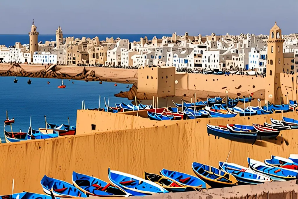
The old kasbah hill sits at the northern end, above the fishing port, and the walk up takes fifteen minutes and gives you the whole geometry of the place: the arc of the bay, the port with its sardine boats, the new city in its grid behind the beach. The memory museum in Talborjt, with its photographs of the ruined town, is the other half of that view, and it is small enough to see in an hour.
Souk El Had, the kasbah and La Médina
Souk El Had is the biggest market in the region and one of the biggest in the country, a walled town of about six thousand shops inside which the sectors are orderly and the prices are not: furniture, craft, cloth, vegetables, meat, spices, household goods and everything else, with a lot of space given over to fruit and vegetables from the Souss valley.
Craft shopping in Agadir mostly means going slightly out of town. La Médina, at Ben Sergao, is a reconstruction rather than a ruin: an Italian artist, Coco Polizzi, built a whole village of traditional Berber technique in the 1990s across five hectares, with artisan workshops, a garden and somewhere to eat. The other places worth an hour are the Amazigh heritage museum, the birds along the Avenue des Administrations, and the fish market in Anza, where the canneries are and the small restaurants beside the market do sardines as well as anywhere on the coast.
Arriving: the airport, the bus and the road
Al Massira airport lies about twenty kilometres southeast of the centre in the commune of Temsia, and it is the country’s fourth busiest, carrying over two million passengers a year and a very long list of European low-cost routes. That is the reason Agadir fills with northern European winter sun in January: a taxi from the terminal is quick and cheap by European standards, a local bus is slower and very cheap, and the resort strip with most of the hotels lies roughly between the two.
The other arrival route is the road. The motorway runs from Marrakech, and the drive is simple: about three hours from Marrakech, five or six from Casablanca, and down the coast from Essaouira on a slower road that is far more interesting than the fast one. Inside the city there is a bus rapid transit line with thirty five stations between the port and Tikiouine, which is the local transport worth knowing about, plus small taxis.
When to go
Agadir sells itself on having no winter, and the numbers back it up. Average daily highs run between 21.2 degrees in January and 27 degrees in August, which is a range of six degrees across the year, and the city gets nearly three thousand hours of sunshine. Rain adds up to about 230 millimetres a year and falls almost entirely between November and March.
The exception is the chergui, a wind that arrives from the Sahara once or twice a year and can push the temperature above forty degrees for two to five days. In August 2023 it took the city to 50.4 degrees, which makes Agadir one of the few coastal places in the world to have recorded a temperature over fifty. If you are travelling in late summer, that is the risk to plan around, and the answer is to be near the water.
Along the coast and up the valley
North of the city the coast turns into surf country: Taghazout and Tamraght are villages of surf camps and board hire about twenty minutes up the road, and beyond them the bays keep going towards Essaouira. Inland and northeast, the road climbs towards Imouzzer Ida Ou Tanane and the pools of Paradise Valley, which fills with visitors on hot weekends and is genuinely beautiful on a weekday morning.
The classic day trip is east instead. Taroudant is eighty kilometres up the Souss valley, a walled town with a busy square, souks and ramparts that people walk in an afternoon, and the palm oasis of Tiout is twenty kilometres beyond it. South along the coast there is Tiznit at ninety kilometres with its silver market, and further on Legzira, with the natural arches in the cliffs that have made it famous, and Sidi Ifni beyond that. The Souss-Massa national park and the river mouth at Oued Massa, about seventy kilometres south, is the place for birds.
Chuẩn bị trước khi đến
0/8
Agadir is honest about what it is. Come for the light, the water and the long promenade, use it as a base for the valley and the coast, and take the day trip to Taroudant or Essaouira when the beach has done its work. It is not the Morocco of the guidebooks, but it is a very good version of a holiday.